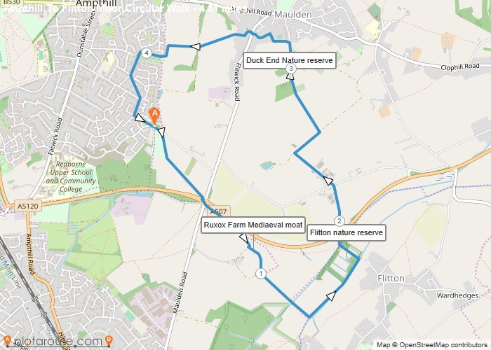
Distance: 4.5 Miles Time: 1 hour 53 minutes Elevation: 328 Feet Terrain: Mixed Start Point: Ampthill End Point: Ampthill null
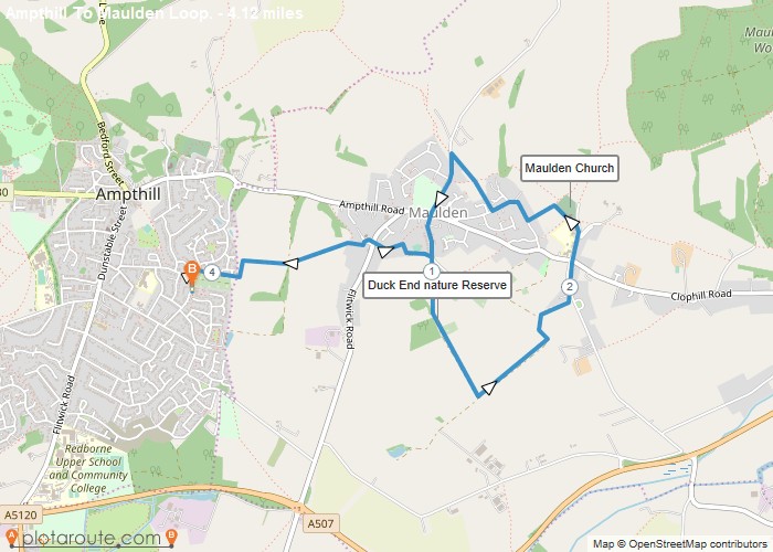
Distance: 4.1 Miles Time: 1 hour 47 minutes Elevation: 233 Feet Terrain: Mixed Start Point: Ampthill End Point: Ampthill null
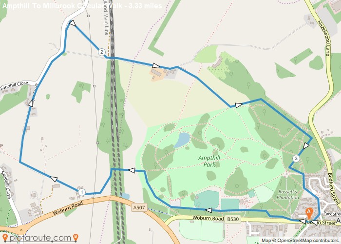
Distance: 3.3 Miles Time: 1 hour 29 minutes Elevation: 1230 Feet Terrain: Mixed Start Point: Ampthill End Point: Ampthill null
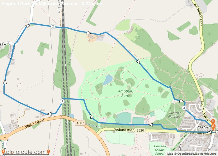
Distance: 3.2 Miles Time: 1 hour 27 minutes Elevation: 167 Feet Terrain: Off-Road Start Point: Ampthill End Point: Ampthill null
Distance: 3.7 Miles Time: 1 hour 43 minutes Elevation: 144 Feet Terrain: Off-Road Start Point: Ampthill End Point: Ampthill null
Favourite
18.1 mile walking trail starting from Leighton Buzzard Train Station and finishing in Wolverton Train Station in Greater London following
Favourite
11.3 mile walking trail starting from Tring Train Station and finishing in Leighton Buzzard Train Station in Greater London following
Favourite
10.8 mile walking trail starting from Chalk Hill and finishing in Streatley in Bedfordshire following the Chilterns Way. Distance: 10.8
Favourite
12.8 mile walking trail starting from Streatley in Bedfordshire and finishing in Peters Green in Heftfordshire following the Chilterns Way.
Favourite
11.7 mile walking trail starting from Aldbury Hertfordshire and finishing in Chalk Hill in Bedfordshire following the Chilterns Way. Distance:


