Place Categories: Cumbria England WaltonPlace Tags: 6 Mile Walks
Profile
Distance: 6.0 Miles
Time: 2 hours 38 minutes
Elevation: 135 Feet
Terrain: Mixed
Start Point: Walton
End Point: Walton
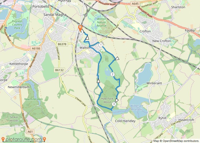
6.27 Jubilee Playing Field Club Car Park Shay Lane Pass Brooklyns Walton Hall Wall East. Stubs Wood Haw Park Cold Hiendley Reservoir Canal Stone Heaps Syke Land Balk School Lane
OS Maps Required
OS Explorer Map (102, 103, 104, 105, 106, 107, 109 and 111) Cornwall Set
Map of Trail

Map
Loading...
No Records Found
Sorry, no records were found. Please adjust your search criteria and try again.
Maps failed to load
Sorry, unable to load the Maps API.

