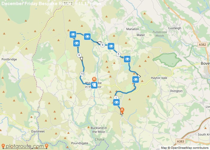
Distance: 11.2 Miles
Time: 5 hours 32 minutes
Elevation: 328 Feet
Terrain: Mixed
Start Point: Ashburton
End Point: Ashburton
I’ve set this up as a Core route. It’s just over 11 miles but has some rocky, rutted, boggy and steep passages so with time taken to look at points of interest and have a breather this could easily fill four hours.The route can be easily trimmed or extended on the hoof to suite the mood and weather of the day. Keith
OS Maps Required
OS Explorer Map (102, 103, 104, 105, 106, 107, 109 and 111) Cornwall Set
Map of Trail

Loading...
No Records Found
Sorry, no records were found. Please adjust your search criteria and try again.
Maps failed to load
Sorry, unable to load the Maps API.

