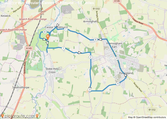
Distance: 8.9 Miles
Time: 3 hours 48 minutes
Elevation: 118 Feet
Terrain: Mixed
Start Point: Caistor St Edmund
End Point: Caistor St Edmund
This is our Higgledy piddledy route as we took a wrong turn. Walked through community woodland in Poringland but won’t let me map this. At Fort, although signs say dogs on Leads, lots of space to let dogs off and many owners dough so. Fenced in.
OS Maps Required
OS Explorer Map (102, 103, 104, 105, 106, 107, 109 and 111) Cornwall Set
Map of Trail


