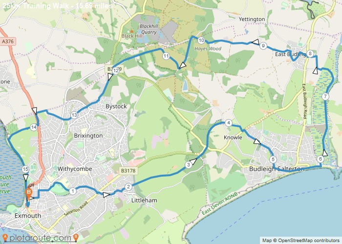
Distance: 15.7 Miles
Time: 7 hours 05 minutes
Elevation: 443 Feet
Terrain: Mixed
Start Point: Exmouth
End Point: Exmouth
Phear park, Budleigh cycle path, moor lane, fore street, beach, river otter, east budleigh, hayes barton, woodbury common, marley road, come out by a la ronde, twisty path to cycle path.
OS Maps Required
OS Explorer Map (102, 103, 104, 105, 106, 107, 109 and 111) Cornwall Set
Map of Trail

Loading...
No Records Found
Sorry, no records were found. Please adjust your search criteria and try again.
Maps failed to load
Sorry, unable to load the Maps API.

