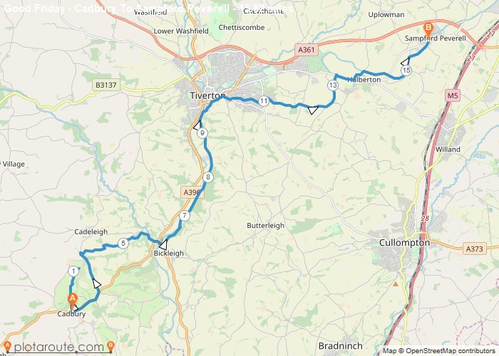
Distance: 5.6 Miles
Time: 3 hours 04 minutes
Elevation: 135 Feet
Terrain: Mixed
Start Point: Woolacombe
End Point: Woolacombe
Parked at Watersmeet end of Esplanade and up hill to Ludy House then Coast Path to Morte Point, Bull Point Lighthouse, Above Bennetts Mouth, up valley to road then back to Mortehoe and down hill back to car
OS Maps Required
OS Explorer Map (102, 103, 104, 105, 106, 107, 109 and 111) Cornwall Set
Map of Trail

