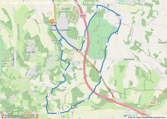
Distance: 11.7 Miles
Time: 5 hours 18 minutes
Elevation: 1181 Feet
Terrain: Mixed
Start Point: West Kingsdown
End Point: West Kingsdown
null
OS Maps Required
OS Explorer Map (102, 103, 104, 105, 106, 107, 109 and 111) Cornwall Set
Map of Trail