Distance: 7.4 Miles
Time: 3 hours 28 minutes
Elevation: 2638 Feet
Terrain: Road
Start Point: Turnworth
End Point: Turnworth
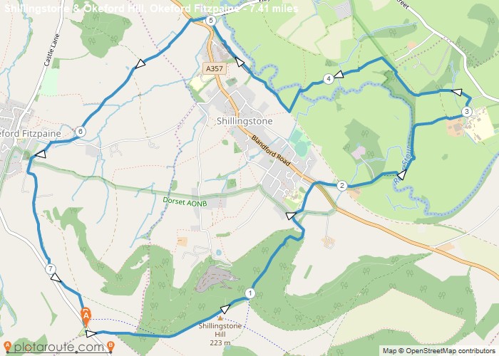
Free parking at Okeford Hill picnic site (near DT11 0EF) or the lay-by almost opposite. This walk is NOT advisable after heavy rain. There is a bridge crossing over the River Stour near to Shillingstone Station. When the river is swollen, this area floods. A pleasant walk with great views during the dryer months. Takes in the Wessex Ridgeway, Shillingstone Hill (221m), North Dorset Trailway, Shillingstone Railway Station and ends a short drive away from refreshments at pub, Okeford Fitzpaine, DT11 0RN.
OS Maps Required
OS Explorer Map (102, 103, 104, 105, 106, 107, 109 and 111) Cornwall Set
Map of Trail