Distance: 1.7 Miles
Time: 46 minutes
Elevation: 315 Feet
Terrain: Off-Road
Start Point: Stoke
End Point: Stoke
See photos from this walk here – http://photowalknetwork.org/photowalks/2016/6/10/park-hall-country-park-photowalk-stoke-on-trent-staffordshire
OS Maps Required
OS Explorer Map (102, 103, 104, 105, 106, 107, 109 and 111) Cornwall Set
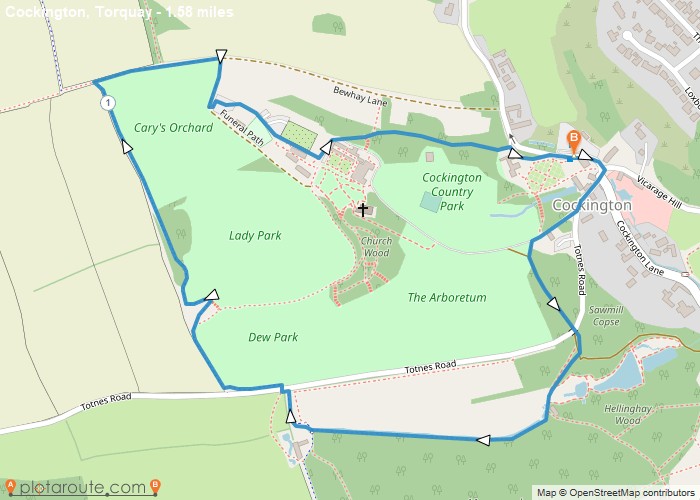
Map of Trail