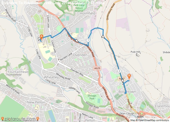
Distance: 2.6 Miles
Time: 1 hour 13 minutes
Elevation: 863 Feet
Terrain: Mixed
Start Point: Halifax
End Point: Halifax
A very, very steep cobble hill!!. Near vertical incline at Churn Milk Lane. Churn Milk!!!!! Sweat Buckets Lane is a more apt statement. No joking, it’s not for the faint hearted. Brilliant view at the top however your more concerned with catching your breath!
OS Maps Required
OS Explorer Map (102, 103, 104, 105, 106, 107, 109 and 111) Cornwall Set
Map of Trail