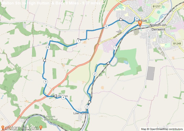
Distance: 9.4 Miles
Time: 4 hours 04 minutes
Elevation: 62 Feet
Terrain: Mixed
Start Point: Norton
End Point: Norton
Follows River Derwent for three miles then North through High Hutton, round through Hildenley Wood and Musley Bank to re-enter Malton along Castle Howard Road
OS Maps Required
OS Explorer Map (102, 103, 104, 105, 106, 107, 109 and 111) Cornwall Set
Map of Trail