Distance: 3.9 Miles
Time: 1 hour 40 minutes
Elevation: 236 Feet
Terrain: Mixed
Start Point: Bournemouth
End Point: Bournemouth
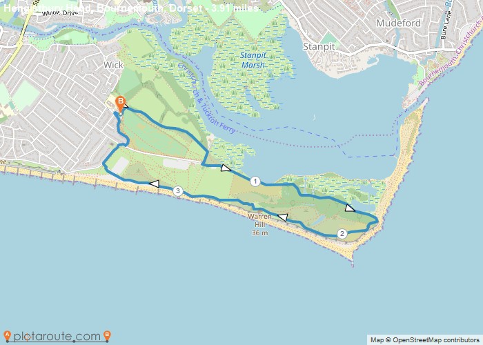
Starts at the Solent Meads Golf Centre for free parking BH6 4NAHead past the golf shop/cafe and take the path running alongside the golf course.When path meets road, turn right and then left, passing the Hengistbury Head Visitors Centre (thatched building).Follow tarmac road all the way to the beach huts. Just as you arrive there either visit the huts and beach to extend the walk or take the right fork and bear right to the steps.Climb the steps and follow the path back across the Head, passing the coastguard lookout station.Take path down off the head and at the bottom follow the path to the left alongside the edge of the beach – the boardwalk walk.At the end it comes to a car park. Head for the yellow barriers at the entrance, turn right along path.At the sharp left bend, turn right and then left to follow road/path back to golf centre.Can be very busy in summer/nice weather with bikes, dog walkers and the land train.Hiker Cafe for refreshments.
OS Maps Required
OS Explorer Map (102, 103, 104, 105, 106, 107, 109 and 111) Cornwall Set
Map of Trail