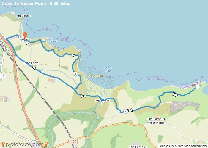
Distance: 6.1 Miles
Time: 2 hours 52 minutes
Elevation: 791 Feet
Terrain: Mixed
Start Point: Cove
End Point: Cove
Route customised from the book “The Scottish Borders – 40 Favourite Walks”
OS Maps Required
OS Explorer Map (102, 103, 104, 105, 106, 107, 109 and 111) Cornwall Set
Map of Trail