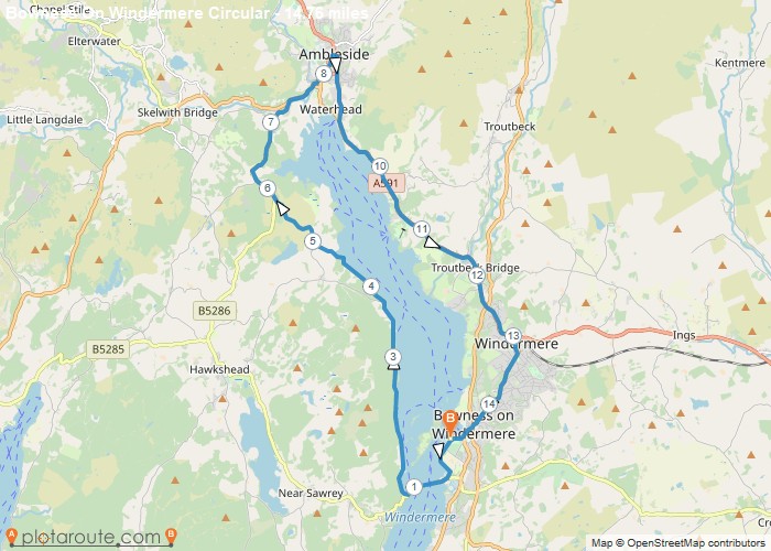
Distance: 14.8 Miles
Time: 6 hours 39 minutes
Elevation: 318 Feet
Terrain: Mixed
Start Point: Plantation Bridge
End Point: Plantation Bridge
Glebe Road via ferry to Ambleside circular
OS Maps Required
OS Explorer Map (102, 103, 104, 105, 106, 107, 109 and 111) Cornwall Set
Map of Trail