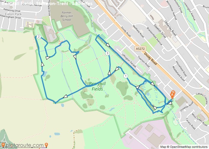
Distance: 3.8 Miles
Time: 1 hour 42 minutes
Elevation: 371 Feet
Terrain: Off-Road
Start Point: Stoke
End Point: Stoke
Lots of different routes to explore. Check out photos on this route at http://photowalknetwork.org/photowalks/2016/12/9/berryhill-fields-nature-reserve-photowalk-stoke-on-trent-staffordshire
OS Maps Required
OS Explorer Map (102, 103, 104, 105, 106, 107, 109 and 111) Cornwall Set
Map of Trail