Distance: 5.0 Miles
Time: 2 hours 32 minutes
Elevation: 548 Feet
Terrain: Off-Road
Start Point: Beaminster
End Point: Beaminster
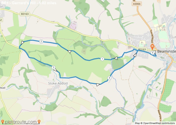
Circular walk from Beaminster to the trig point at Gerrard’s GHill, on to Stoke Knapp and back via Stoke Abbott.
OS Maps Required
OS Explorer Map (102, 103, 104, 105, 106, 107, 109 and 111) Cornwall Set
Map of Trail