Distance: 10.7 Miles
Time: 5 hours 20 minutes
Elevation: 1578 Feet
Terrain: Mixed
Start Point: Brighouse
End Point: Brighouse
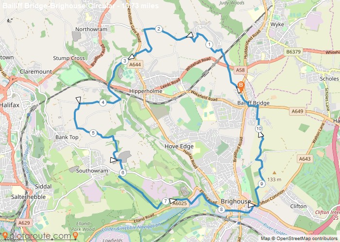
A circular walk starting from Bailiff Bridge via Norwood Green, Coley and Southowram, returning via the canal footpath to Brighouse and Calderdale Way to Bailiff Bridge.
OS Maps Required
OS Explorer Map (102, 103, 104, 105, 106, 107, 109 and 111) Cornwall Set
Map of Trail