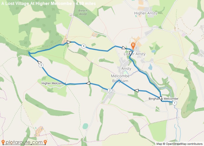
Distance: 4.7 Miles
Time: 2 hours 12 minutes
Elevation: 440 Feet
Terrain: Mixed
Start Point: Lower Ansty
End Point: Lower Ansty
Walk 32Pub: fox inn @ ansty Old brewery hall in ansty it’s original hall and Wodehouse breweryWalk up henning hill to giant’s grave (a pillow mound) with good views along the valley
OS Maps Required
OS Explorer Map (102, 103, 104, 105, 106, 107, 109 and 111) Cornwall Set
Map of Trail