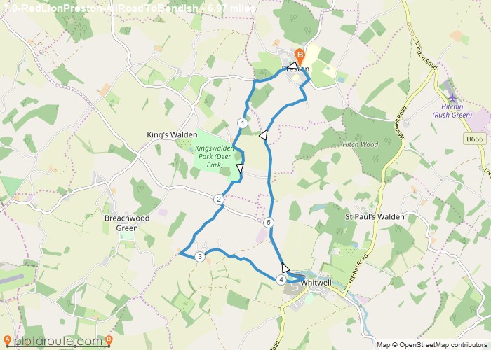
Distance: 7.0 Miles
Time: 3 hours 07 minutes
Elevation: 768 Feet
Terrain: Mixed
Start Point: Preston
End Point: Preston
A moderately hilly circular walking route, mostly on roads, approximately 7.0 miles long.
OS Maps Required
OS Explorer Map (102, 103, 104, 105, 106, 107, 109 and 111) Cornwall Set
Map of Trail